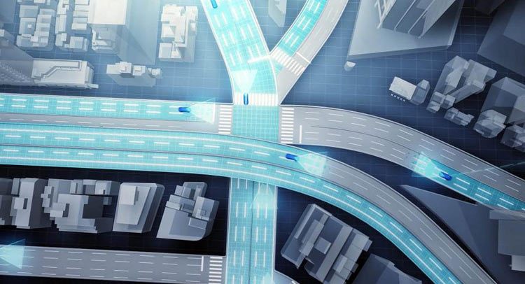
At next month’s CES 2016 in Las Vegas, Toyota will reveal an advanced new mapping software its designed to particularly aid in the development of autonomous vehicles.
Toyota’s new mapping software works in conjunction with its existing production vehicles which will gather information about their position alongside images of the road. These will be sent to a number of data centers, which will automatically piece the information together to create accurate maps around the world.
The aforementioned vehicles will gather data from the road around them through their existing GPS and cameras. Such a system should prove cheaper and more effective than the 3D laser scanners traditionally used to create road maps. Whereas maps formed through 3D scanners are infrequent, Toyota’s simpler system will see maps updated far more frequently.
To correct any positional errors in the maps created, Toyota’s software can use images collected from multiple cars in the same area to ensure complete accuracy.
The automaker is hoping to install this system into a range of production cars by 2020.


