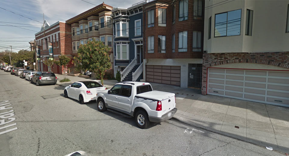
Google Street View is an amazing service but as it turns out, the images it captures can be used for much more than simply displaying the world around us.
Recently, a team of researchers, predominately from Stanford University, used artificial intelligence to analyze the types of vehicles parked in 200 cities across the United States to determine the political leanings of a particular area.
According to Popular Science, researches built a collection of over 50 million images from Google Street View and used an object recognition technique to pick out vehicles from their surrounding environments. An AI tool was then trained to classify those vehicles by make, model, and year.
Researchers discovered that if there were a greater number of pickup trucks in an urban area, that region had an 82 per cent chance of voting Republican. Alternatively, the presence of more sedans meant there was an 88 per cent of that area voting Democrat.
Study co-author Timnit Gebru said the AI was “surprisingly accurate” but wasn’t so accurate that such an analysis could fully replicate the results of a census.


