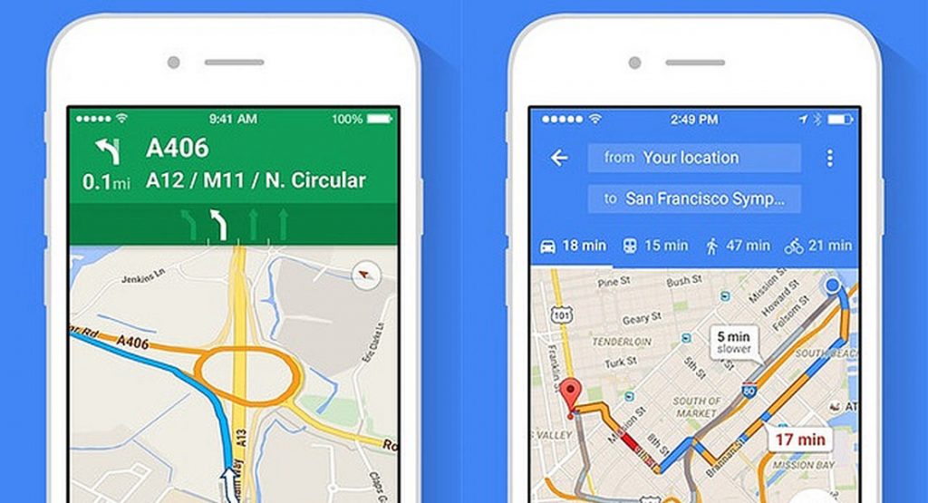
Google Maps has become the default navigation app for millions of drivers around the world, despite automakers themselves frequently offering their own navigation systems in new vehicles.
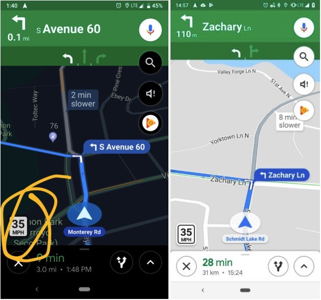
However, one key feature which Google Maps has lacked compared to other navigation systems, including dedicated GPS units, is the ability to display the posted speed limit on roads. Additionally, it didn’t alerted drivers as they approach fixed speed cameras. This appears to be changing.
Android Police recently received a number of tips from users across the United States that Google Maps recently started displaying speed limits. The new feature has been confirmed to work in at least New City City, Los Angeles, and Minnesota.
Is Google Maps showing speed limits in your city?
Interestingly, it did have a speed limit feature all the way back in July 2017 but it only ever worked in the San Francisco Bay Area and Rio de Janeiro.
Google Maps now also notifies drivers through an audio warning as they approach a fixed speed trap. Users can also view known speed traps on a route they intend on taking.
The curious thing about the delay in Google rolling out speed limits and speed camera warnings for its software is that Google-owned Waze has been providing information like this to its users for years. The key difference between the two is that Waze is powered by crowdsourcing, allowing users to share up-to-date information, such as road conditions, to other users.
Google has yet to make an official announcement regarding the introduction of these new features, though we guess this will happen as the service becomes more widely available.


