Getting from A to B has come a long way from the days of verbal instructions. For a short time, people printed out instructions from the web and used those for navigation. Today, the options are plentiful, mobile, and often integrated into cars themselves but which one is the best?
Most cars today come with some form of available integrated navigation. Each one has its own learning curve but a few are fairly intuitive and simple. For example, last year when we drove the Mercedes C-Class, we found that its voice-controlled navigation was not only very quick to respond but excellent in terms of the guidance it provided.
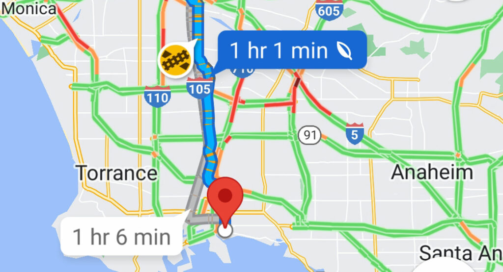
That’s not always the case though so many users elect to use their smartphone and its automotive integration features. Google Maps seems to be the go-to for most as it’s widely available due to the abundance of Android devices. Android Auto itself is far from perfect but its maps feature is powerful and straightforward.
More: Apple Maps EV Routing Now Available For Porsche Taycan Owners

The obvious alternative is Apple Maps which, after quite a few stumbles early on, now a very polished product. Having had experience with both Google and Apple maps, I personally love the verbal instructions that Apple provides as they feel more natural and easy to understand without having to look back at the map again.
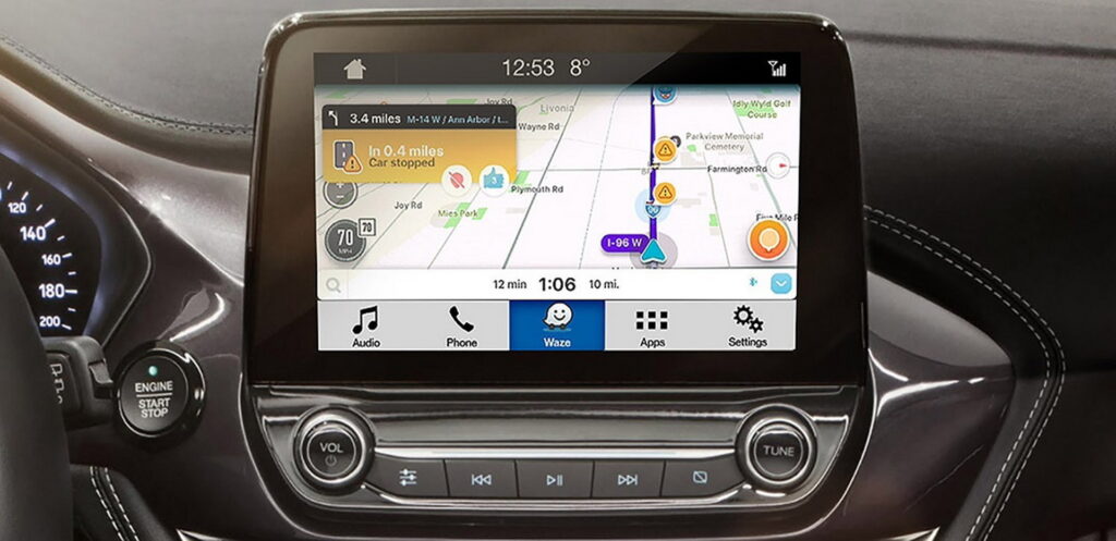
Still others will prefer a system like Waze which is Google-owned but slightly different from Google Maps. It’s notable for its community-driven data including alerts for accidents, speed traps, and more.
There are a few small-time players out there and some like the Linux Foundation’s Overture Maps Foundation that hopes to compete for the top spot in the future. For now, though, we’re interested in what you use and why. Are you simply stuck in an ecosystem because of your choice of phone or car or do you have a specific gameplan around the map system you use? Let us know down below!


